Air Photo Services is a leading UK provider of specialist independent interpretation of aerial imagery for heritage, planning, environmental and legal applications.
Since 1990, we have provided advice, interpretation and mapping services into over 1200 heritage, planning and legal projects.
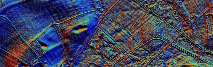
Working nationally and internationally we provide detailed expert legal and archaeological interpretation and mapping from modern and historical aerial photographs, satellite imagery and Lidar data.
All of our work is done in-house by our expert team of Aerial Imagery Analysts and GIS analysts.
We deliver our services as consultancy advice, written reports, GIS-ready mapping and authoritative presentation of expert witness evidence in court, adjudication or Public Inquiry.
Expert interpretation of aerial imagery


Archaeology | Law | Planning | Environment | Research