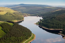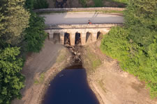

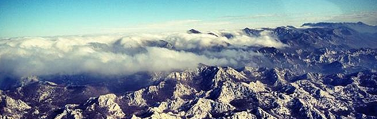
Aerial Photography
An aerial photograph communicates an instant overview and supplies valuable information about historic and present landuse. We specialise in the identification and survey of archaeological sites from the air and the planning and execution of challenging or large scale aerial surveys over urban and rural environments.
Air Photo Services provides specialist aerial photographic surveys to a wide range of our public and private sector clients for:
• Archaeological and environmental survey
• Site evaluation
• Commercial advertising, brochures and publicity
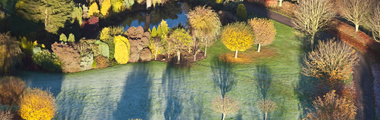
• Illustration of buildings and landscapes
• Landscape research and analysis
• Surveillance and quantification of human land
use for legal and forensic applications
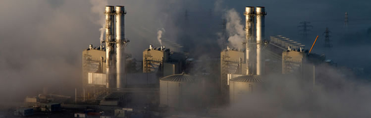
• Recording of wetland and coastal environments
and former industrial landscapes