
heritage assessment from aerial imagery
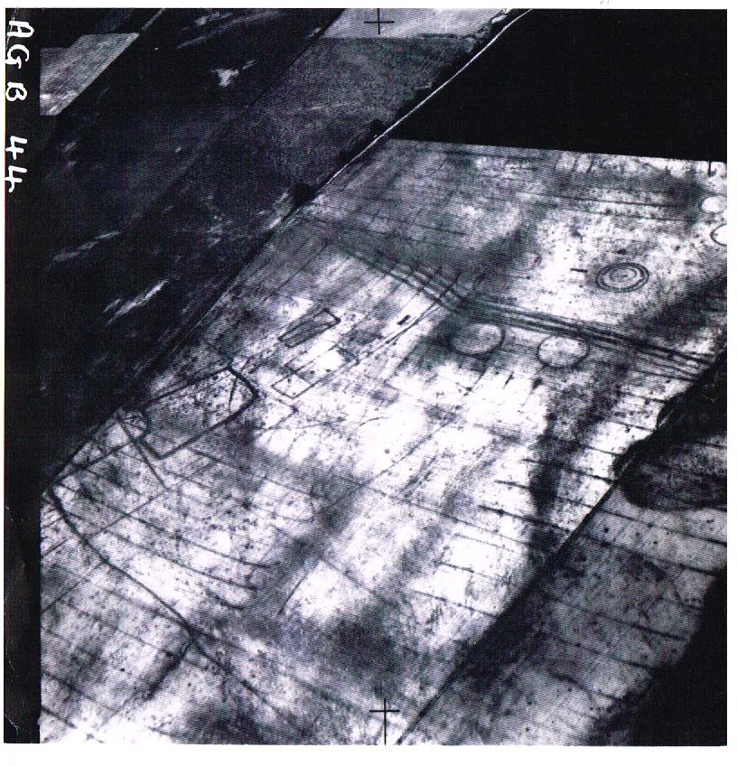
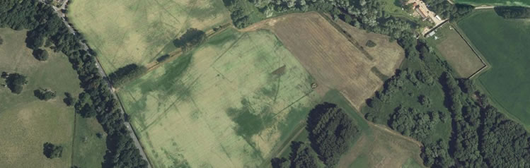
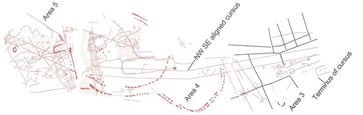
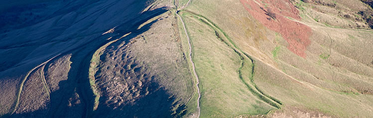
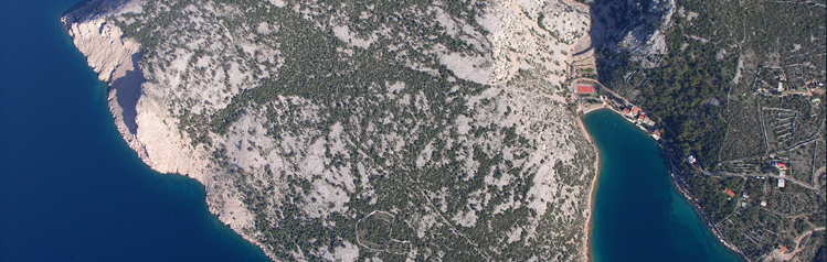
Our heritage assessments from aerial imagery are delivered as either briefing notes, detailed written reports or gazetteers of sites and method statements, according to our client’s needs. Working within walking distance of the Historic England Archive of aerial photographs, we can easily and efficiently access a wide range of historic and modern aerial photos, stereoscopic runs of 1940s RAF and later vertical images and an extensive collection of specialist oblique photos taken by aerial archaeologists over the last century, in addition to resources in commercial archives and those displayed at www.earth.google.com . Our specialist aerial imagery analysts have knowledge of multi-period British and European archaeology and landscape types, and experience in working over varied geological formations, soil types, agricultural regimes and landscapes. We bring this expertise to our assessment projects, and each project is researched in depth, providing a unique overview of the site or landscape from the aerial perspective. We use aerial photos in conjunction with Lidar imagery processed in house from raw ASCII data to create a series of visualisations and lighting directions which best show the micro-topographic components of our sites.
All reports are completed within the precepts of the National Planning Policy Framework (NPPF) to support our client’s planning issues and applications, feed into Environmental Impact Assessment (EIA) processes, and are complaint with Local Authority planning requirements where appropriate.
We deliver our services as consultancy advice, written reports, GIS-ready mapping and authoritative presentation of expert witness evidence in court, adjudication or Public Inquiry.
Since 1990, we have provided advice, interpretation and mapping services into over 1200 heritage projects ranging from single-site analysis to linear schemes in excess of 100km and large area landscape analysis and mapping.
Legal and planning expert witness services
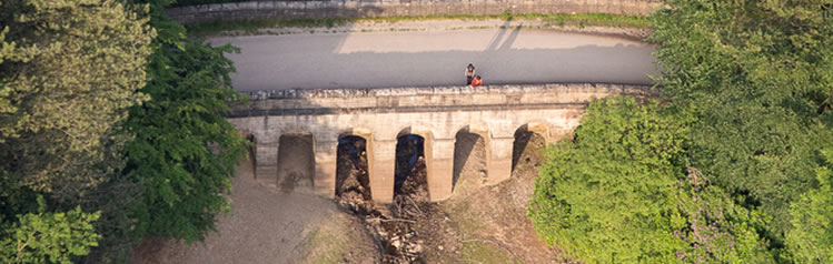
Aerial photographs provide authenticated dated evidence for land use, access ways and conformation of buildings and structures through time.
Our Managing Director, Chris Cox, specialises in provision of clear and impartial professional expert witness evidence from aerial photographs. Fully compliant with the Civil Procedure Rules part 35 and Practice Direction 35 for provision of expert evidence, Chris’ reports are based on sound knowledge of aerial photographic interpretation, stereoscopic analysis, and landscape and site mapping in both urban and rural contexts. She has advised landowners and planners, developers and private individuals for over 18 years, and specialises in examination of aerial imagery for land use, building disputes, planning, adverse possession, Town and Village Green (TVG), boundary and Right of Way (RoW) issues. Chris works with barristers from No 5, Tanfield, St John’s and Landmark Chambers and has extensive experience of authoritative presentation at Public Inquiry and appearance in Court and at Adjudication either on behalf of her clients or as a Single Joint Expert.
Environmental analysis
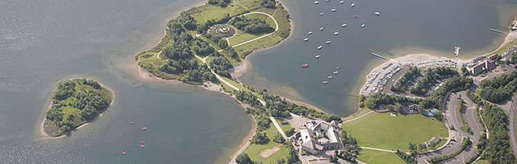
Air Photo Services provides interpretation of aerial imagery, mapping products and consultancy services for Environmental Impact Assessment (EIA), land-slip and stability surveys, palaeo-hydrological surveys, waste management issues and flood risk analysis. We have undertaken pollution detection and contaminated land surveys, agricultural, rural and urban landuse surveys, hedgerow and habitat mapping, forestry management appraisals and landscape categorisation surveys for heritage purposes.
Our environmental products range from appraisal and survey over a single site to design and management of major Imagery Analysis projects, personnel selection, training and supervision and integration with other disciplines such as ecology, landscape and contaminated land specialisms.
We have recently supplied geo-referenced interpretations of aerial imagery, including Lidar, as GIS files to the UK Environment Agency, The National Trust and several UK Local Authorities and have a long track record working within the renewable energy industry for site and cable route assessments from aerial imagery.